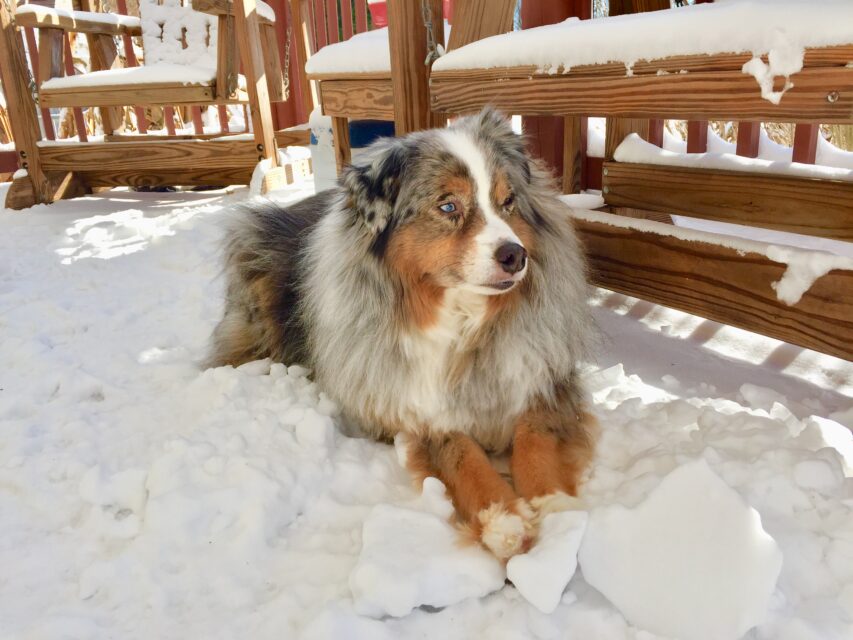
Oliver Tolliver sure loves laying around in the snow.
But even with chatter about some nasty weather, he’ll have to wait a while.
He can thank El Nino – a warm weather pattern that forms from time to time in the central to eastern-central Pacific Ocean along the equator.
El Nino is effecting our early-winter string of coastal storms.
We can start looking out for the next in line to form in the Gulf Coast, then make its way through our neck of the woods on Saturday.
With most computer models in line, the National Weather Service in Wakefield, said in its Thursday morning webinar that the region can expect a wet and windy event.
And after a couple of days of nicer weather, another, stronger system, does just about the same.
The difference is that Tuesday could produce more rain and higher winds.
To the west, in higher altitudes, these two lows likely will produce some sleet, freezing rain and snow. Roads out west could be frozen and dangerous, especially Sunday morning.
Interstate 95 seems to be the agreed on weather line – east of it rain and wind, west of it ice and snow.
Wakefield meteorologist in charge, Jeff Orrock, said we’re seeing a “classic El Nino pattern” that will resort in similar weeks of one or two coastal lows.
But until lower temperatures take over, Oliver is just going to have to wait to play Snow Man.
To read more of my work, go to: leetolliveroutdoors.com