Okay boys and girls, it looks like it’s going to be a weekend to batten down the hatches.
In a teleconference Thursday, the National Weather Service forecast said that a wicked low pressure system forming in the Gulf of Mexico would work its way along the East Coast and though our region – bringing rain and winds with it.
Saturday is predicted to be extremely wet, with one to two inches of rain very possible. Southeast winds are supposed to increase in strength starting Friday night before turning to the northwest early Sunday morning and increasing to Gale Force.
Gusts along the coast and near-shore could reach sub-tropical speeds.
Sometime Sunday afternoon, things are forecast to slow down and get better.
Until then, residents are advised to expect some minor flooding in low-lying areas and those prone to high waters.
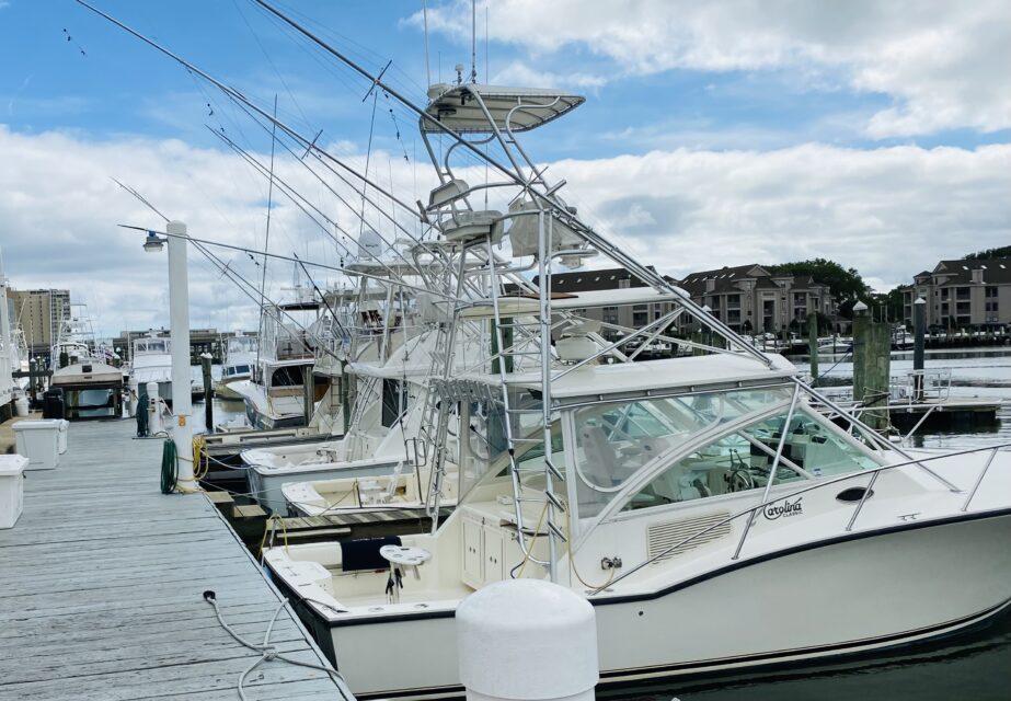
Boaters whose vessels are tied to piers and docks should put a little less pressure on the lines to compensate for higher waters.
The weather service also wants to make sure that boaters know that this possibility has a high chance of accuracy because of international forecast models.
But weather is rarely a sure bet.
The predicted track of the storm system will govern how bad things get.
Winds will shift drastically Sunday morning from southeast to northwest and then will really increase in strength until late in the afternoon.
Regardless of how messy it gets, this weekend will be a good time to practice tropical storm readiness – something that few boaters pay attention to.
If your vessel is stored at our facility, you’ll be fine.
If not, make sure to prepare for bad conditions and be happy if they don’t develop.
But remember that the weather service feels good about it predictions are to its forecasters have a great track record.
To read more of my work, go to: leetolliveroutdoors.com